Terradrafts

Services

Raw survey data, drafted fast.

Six deliverables, one drafting team. From a 12-hour drone package to setting-out files for the field — send raw data, receive ready-to-issue outputs.

24-hour support, every day
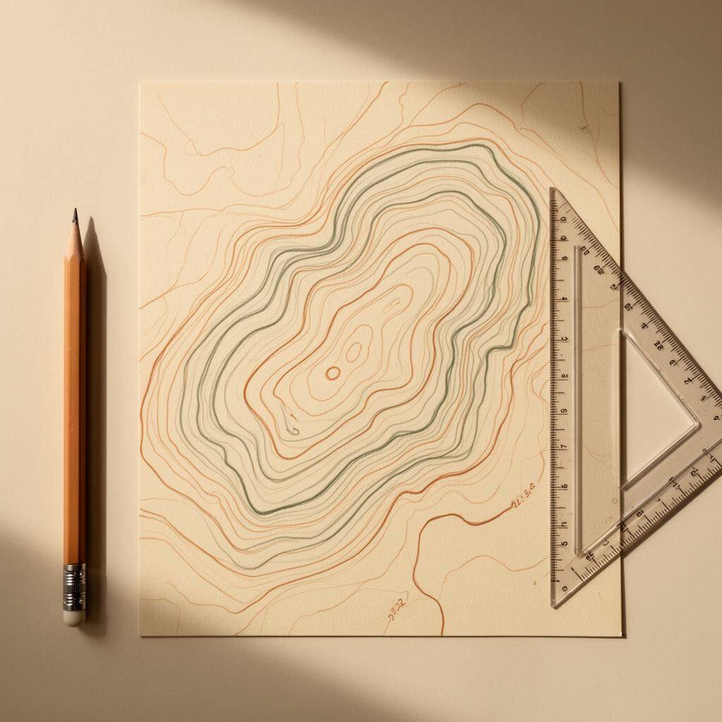
Fast Contour Map
Turnaround: 24 hours

Fast Contour Map

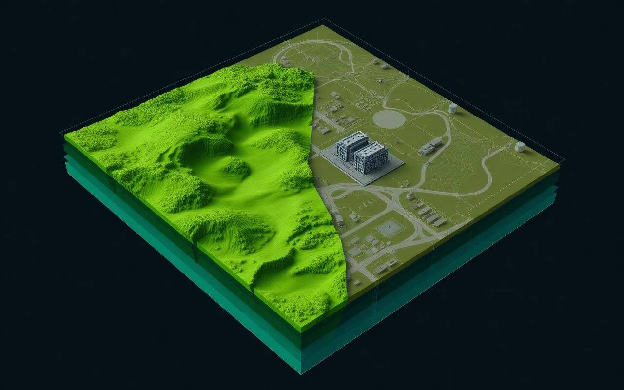
Upload a KML boundary and we send back a clean contour CAD file within 24 hours — fully drafted and ready to drop into your project.

Contour drawings (DWG / DXF)
Index & intermediate contours
Spot heights / level annotations
Boundary referenced from your KML
Layered to your CAD standard

Accepted inputs: KML / KMZ boundary, optional reference CSV or DEM

Starts from

$25 / km²

Get exact quote

1000-Image Drone Map
Turnaround: 12 hours

1000-Image Drone Map

Send up to 1000 raw drone JPGs. Within 12 hours we deliver 2D orthomosaic, 3D model, contour map, point cloud and CAD — a complete drone package.

2D orthomosaic (GeoTIFF)
3D textured mesh / model
Dense point cloud (LAS / LAZ)
Contour map (DWG / DXF)
Topographic CAD drawing

Accepted inputs: Raw JPG drone imagery (up to 1000), GCP file, flight log

Starts from

$120 / flight

Get exact quote

Land Volume Preparation
Turnaround: 24–48 hours

Land Volume Preparation

Accurate cut-and-fill and stockpile volumes from your survey data, delivered with full reports.

Cut & fill volume reports
Stockpile volumes (PDF + Excel)
DTM / DEM surface models
Cross sections & long sections
Contour drawings (DWG / DXF)

Accepted inputs: TIN, CSV/TXT point files, DWG, LandXML, point clouds

Starts from

$60 / site

Get exact quote

LiDAR Point Cloud & Mesh
Turnaround: 48–72 hours

LiDAR Point Cloud & Mesh

Classification, cleaning, and 3D mesh generation from terrestrial or airborne LiDAR datasets.

Classified LAS / LAZ
Noise removal & thinning
Bare-earth DTM
Triangulated 3D mesh (OBJ / FBX)
Section drawings

Accepted inputs: LAS, LAZ, E57, PLY, PTS point clouds

Starts from

$200 / dataset

Get exact quote

SDR & DGPS Raw Data to CAD
Turnaround: 24 hours

SDR & DGPS Raw Data to CAD

Total station SDR files and DGPS raw observations — converted, reduced, coordinated and drafted into finished CAD drawings.

Reduced coordinate file (CSV / TXT)
Topographic CAD plan (DWG / DXF)
Levels, spot heights & contours
Cross sections (on request)
Drafted to your layer template

Accepted inputs: SDR (Sokkia), Trimble JOB, Leica GSI, RINEX, DGPS raw observation files

Starts from

$40 / job

Get exact quote

Setting-Out Converter
Turnaround: Same day

Setting-Out Converter

Turn design drawings into clean setting-out coordinate files for your total station, DGPS rover or field controller.

Setting-out coordinate list (CSV / TXT)
Point codes & descriptions
DXF reference of pickup points
Format for Trimble / Leica / Sokkia / South
Optional alignment / chainage data

Accepted inputs: Design DWG / DXF, alignment files, point schedule

Starts from

$15 / drawing

Get exact quote

Cross Section Drawings
Turnaround: 24 hours

Cross Section Drawings

Cross sections and long sections generated from your survey points, alignment or DTM — drafted with levels, chainage and grid annotations.

Cross sections at defined chainages
Long section / profile drawings
Existing vs design ground levels
Cut & fill area shading
Layered DWG / DXF + PDF

Accepted inputs: CSV/TXT points, DTM, alignment (LandXML), DWG

Starts from

$2 / section

Get exact quote

Google Maps to CAD
Turnaround: 24 hours

Google Maps to CAD

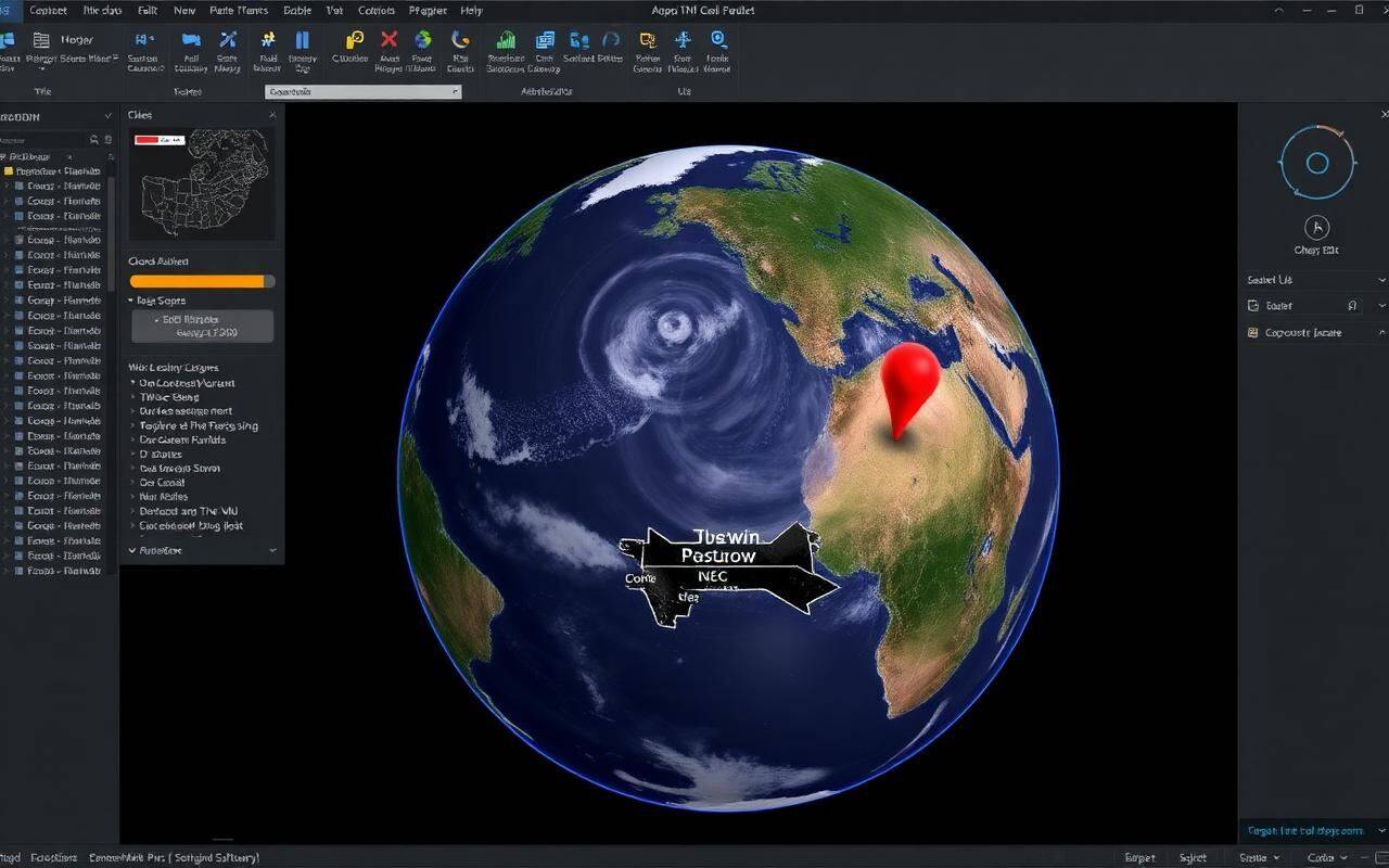
We load Google Maps and satellite imagery, trace your site boundary and visible features, georeference, and deliver a clean drafted CAD drawing.

Georeferenced site boundary
Roads, buildings & feature outlines
Coordinate grid (UTM / local)
Image-backed reference DWG
Editable, layered CAD output

Accepted inputs: Google Maps link, KML / KMZ, coordinates or site address

Starts from

$20 / site

Get exact quote

Land Scan Archive
Turnaround: Ongoing

Land Scan Archive

Securely store and manage your land scan documents — point clouds, scan files, drawings and survey records — accessible whenever you need them.

Private project-based storage
Versioned scan & drawing files
Indexed by site / project / date
Download anytime, anywhere
Backed up & access-controlled

Accepted inputs: Point clouds, scan files, DWG / PDF / images, survey records

Starts from

$9 / month

Get exact quote

Blueprint to CAD Conversion
Turnaround: 24–48 hours

Blueprint to CAD Conversion

Scanned blueprints, hand sketches and PDF drawings vectorised into clean, editable, scale-accurate CAD files following your layer standards.

Editable DWG / DXF
True-scale geometry
Layered by line type / category
Text, dimensions & hatching
PDF reference overlay

Accepted inputs: Scanned blueprints, PDF drawings, JPG/PNG sketches, hand drafts

Starts from

$10 / sheet

Get exact quote

Drawing Dimension Fix
Turnaround: Same day

Drawing Dimension Fix

Send us your existing CAD drawings and we'll fix incorrect dimensions, scaling issues, layer mess, line types, text and annotations.

Corrected dimensions & scale
Cleaned up layers & line types
Standardised text & leader styles
Updated title block & sheet setup
Print-ready DWG + PDF

Accepted inputs: DWG / DXF drawings (any version)

Starts from

$8 / sheet

Get exact quote

KML to CAD — Buildings, Roads & Levels
Turnaround: 24 hours

KML to CAD — Buildings, Roads & Levels

Send Google Earth KML / KMZ files and we deliver a fully drafted, layered CAD drawing — buildings, roads, plots, contours, levels and DGPS survey features included.

Buildings & footprints (separate layer)
Roads, kerbs & centerlines
Plot / parcel boundaries
Spot levels & contours
DGPS survey points with codes
Georeferenced DWG / DXF

Accepted inputs: KML / KMZ from Google Earth, DGPS raw / reduced data, point lists

Starts from

$30 / KML

Get exact quote

FMB Combined Sketch
Turnaround: 24–48 hours

FMB Combined Sketch

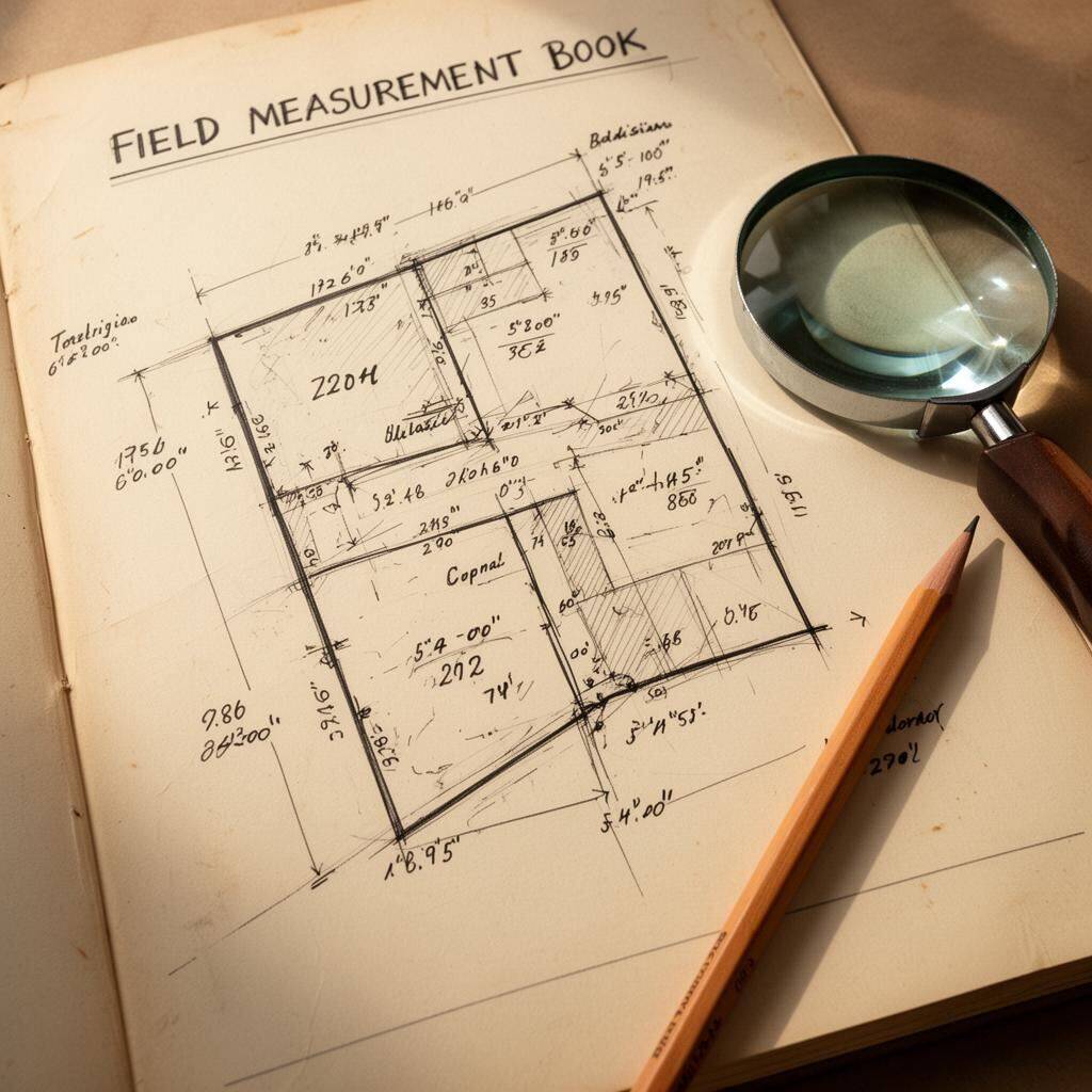
Multiple Field Measurement Book (FMB) sketches combined, scaled and redrawn into a single clean CAD drawing — survey numbers, sub-divisions and boundaries georeferenced to your site.

Combined FMB sketch in DWG / DXF
Survey numbers & sub-division labels
Boundary lengths & bearings
Georeferenced to UTM / local grid
Layered to your CAD standard
Print-ready PDF

Accepted inputs: FMB sketch copies (PDF / JPG / scans), survey numbers, village/taluk details, reference coordinates if available

Need to pull FMB sketches straight from the government portal? You can fetch them here:

combinedfmbsketch.com

Starts from

$15 / FMB

Get exact quote

GIS Services
Turnaround: 48–72 hours

GIS Services

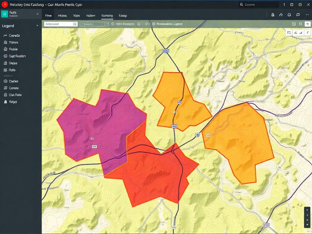
End-to-end GIS support — digitisation, geo-referencing, spatial analysis and map production. We turn raw imagery, scanned maps and CAD into clean, query-ready GIS datasets.

Vector digitisation (Shapefile / GeoJSON / GPKG)
Georeferencing of scanned maps & imagery
Attribute data structuring & cleanup
Spatial analysis (buffer, overlay, proximity, density)
Thematic map production (PDF / web tiles)
CAD ↔ GIS conversion (DWG ↔ SHP) with layer mapping

Accepted inputs: Satellite / drone imagery, scanned maps, DWG / DXF, KML / KMZ, CSV with coordinates, existing SHP / GeoJSON

Starts from

$50 / task

Get exact quote

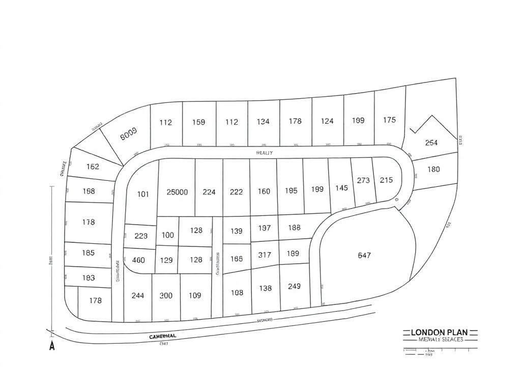
Layout Design & Land Partitions
Turnaround: 24–48 hours

Layout Design & Land Partitions

Plot layouts, residential & industrial subdivisions and land partition drawings — drafted to local planning norms with road widths, setbacks, plot numbering and area schedules.

Master layout plan (DWG / DXF + PDF)
Plot subdivision with numbering & dimensions
Road network, setbacks & turning radii
Common amenities, open space & parks
Plot-wise area schedule (Excel)
Partition drawing for legal / registration use

Accepted inputs: Site boundary (KML / DWG / coordinates), total extent, partition shares, planning rules (DTCP / local authority)

Starts from

$45 / layout

Get exact quote

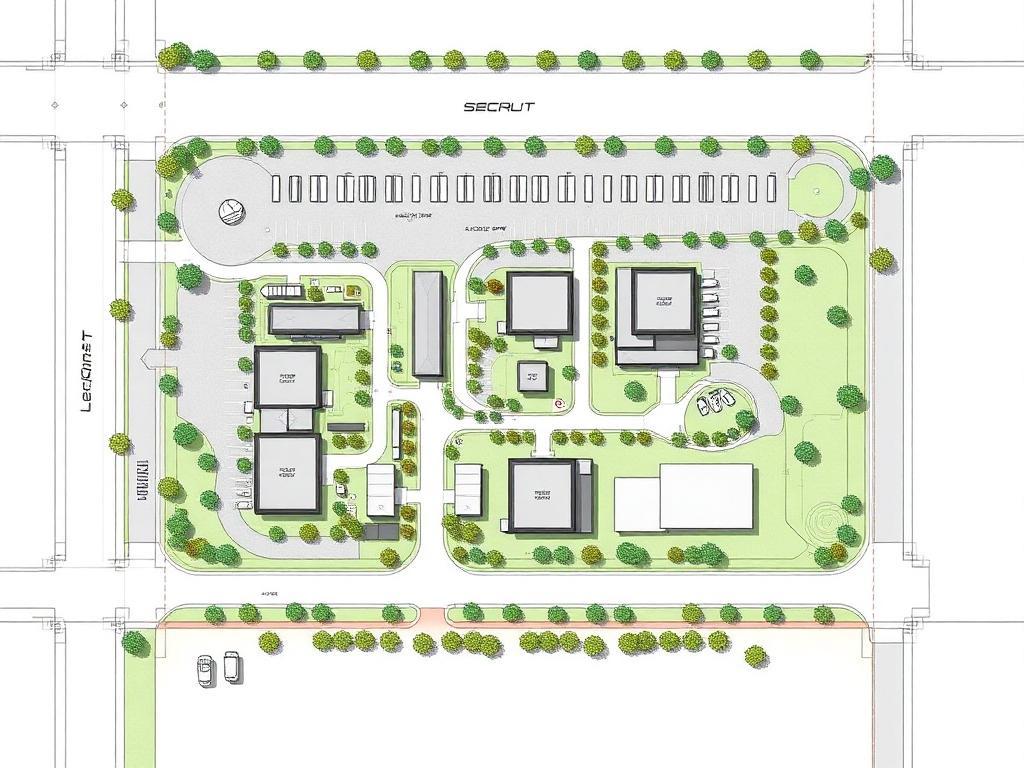
Land Layout Design
Turnaround: 24–48 hours

Land Layout Design

Site-level land layout design — plot arrangement, internal roads, drainage, utilities and zoning drafted on your boundary with planning-ready dimensions and area schedules.

Master land layout plan (DWG / DXF + PDF)
Internal road network with widths & junctions
Zoning blocks (residential / commercial / open)
Drainage, water & utility corridors
Setbacks, buffer zones & contour-aware grading
Plot-wise area schedule (Excel)

Accepted inputs: Site boundary (KML / DWG / coordinates), total extent, contour or DEM (optional), planning brief

Starts from

$60 / layout

Get exact quote

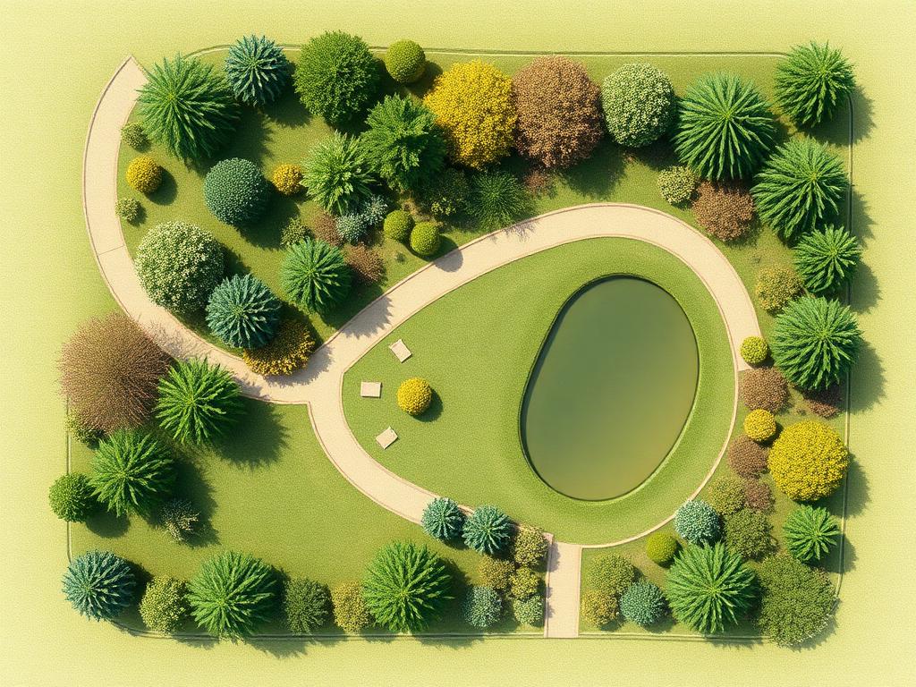
Tree & Landscape Design
Turnaround: 24–48 hours

Tree & Landscape Design

Tree planting plans and soft-landscape design for plots, farms, campuses and public spaces — species placement, spacing, canopy coverage and a tagged planting schedule.

Tree & shrub layout plan (DWG / DXF + PDF)
Species schedule with spacing & canopy size
Soft & hard landscape zones
Irrigation line concept (optional)
3D canopy preview (top view)
Plant count & quantity Excel sheet

Accepted inputs: Site boundary (KML / DWG), climate / region, preferred species list (optional), site photos

Starts from

$35 / plan

Get exact quote

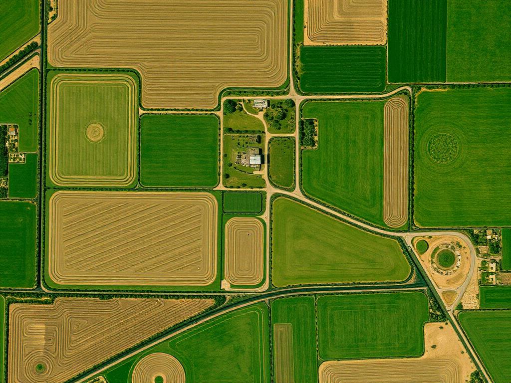
Agricultural Farm Design
Turnaround: 48–72 hours

Agricultural Farm Design

End-to-end agricultural farm layout — crop blocks, orchard grids, farmhouse, water bodies, irrigation network and access roads designed for your land, soil and water source.

Farm master plan (DWG / DXF + PDF)
Crop / orchard block divisions with spacing
Irrigation layout (drip / sprinkler / flood)
Farm pond, well & water storage placement
Farmhouse, sheds & access roads
Bill of quantities (fencing, pipes, plants)

Accepted inputs: Site boundary (KML / DWG / coordinates), water source details, crops / trees planned, soil type if known

Starts from

$75 / farm

Get exact quote

Ready to send your data?

Create a free client account to upload files securely and track your project from intake to delivery.

Open client portal